
Major Building Blocks of Central Canada
Date/Time: Monday, November 2 | 1:30pm
Location: Carlton Room
University of Saskatchewan: Regional constraints on base metal, precious metal, and uranium mineral systems in the Trans-Hudson orogen, with a focus on Saskatchewan
Speaker: Kevin Ansdell
The Paleoproterozoic Trans-Hudson orogen, exposed in northern Manitoba and Saskatchewan, developed during the evolution and closure of the Manikewan Ocean resulting from intra-oceanic accretionary events, and complex collisions with the Archean Sask, Hearne, and Superior cratons. These rocks are host to hydrothermal base metal and precious metal systems, and the aim of this presentation will be to provide constraints on their regional and local characteristics, with a focus on examples in the western Reindeer Zone in Saskatchewan.
The oldest deposits are volcanic-hosted Cu-Zn deposits (e.g. McIlvenna Bay region, Brabant-McKenzie) that are considered to have formed synchronous with active arc and back-arc systems. These have been deformed and metamorphosed during later collisional events, destroying primary relationships. Fluids generated during prograde metamorphism may have interacted with the older deposits, and were, in places, auriferous. These fluids were focused into regional structures, leading to localized formation of orogenic gold deposits, such as those within the La Ronge, and Pine Lake greenstone belts.
The Paleoproterozoic rocks are unconformably overlain in the west by the uranium-rich Athabasca Basin. Reactivation of older structures, and interaction with rocks in the Reindeer Zone and the Archean Hearne/Rae cratons to the west, are important elements of the uranium system.
Province of Manitoba: Geology and mineral deposits of the Thompson Nickel Belt, central Manitoba
Speaker: Chris Couëslan
The Thompson Nickel Belt forms a segment of the Superior Boundary Zone, along the northwestern margin of the Superior craton in Manitoba. The belt is host to one producing nickel mine, seven mines that are past-producing or on care and maintenance, and numerous deposits.
The nickel deposits were generated when ca. 1.88 Ga ultramafic rocks intruded sulphide-rich sedimentary rocks of the Paleoproterozoic Ospwagan Group. Intense deformation and metamorphism during the ca. 1.80 Ga Trans-Hudson Orogen resulted in the local remobilization of nickel sulphides into regional fold noses and parasitic fold hinges.
Conductors and ultramafic rocks associated with Ospwagan Group stratigraphy in regional fold hinges make prime exploration targets for nickel in the belt. A recent gold discovery in the northern portion of the belt suggests there may be a historically overlooked potential for precious metals in the Thompson Nickel Belt.
Manitoba Geological Survey: Preliminary mapping results from Thompson Lake: Back to Basics with a Splash of New
Speaker: Kyle Reid
The structural complexity and felsic-dominated character of volcanic rocks in the Sourdough Bay block present challenges to understanding volcanic stratigraphy that is critical to effective volcanogenic massive sulphide exploration.
Mapping in 2026 capitalizes on recent forest fires that revealed large amounts of outcrop that had previously been heavily forested and covered with lichen. Initial reconnaissance was completed via a real-time kinematic position capable drone collecting detailed imagery, which was processed using photogrammetry to build a digital elevation model for the map area.
This imagery and elevation model were then used to assist bedrock geological mapping and structural interpretation as well as identify felsic volcaniclastic sequences that are bracketed by subordinate mafic flows that define a stratigraphy that can be traced from the centre of Thompson Lake (northern peninsula) through the North Star volcanogenic massive sulphide deposit to Murray Lake.
Geological Survey of Canada: Craton Reconstructions and Plume Tracks in Deep Time: Implications for the Geology of the NW Superior Craton
Speaker: Woulter Bleeker
Of the 35 preserved Archean cratons around the world, most if not all are fragments, or fragments of fragments, of late Archean “supercratons”, i.e. the larger landmasses to which these craton fragments trace their ancestry (Bleeker, 2003). At least two large independent supercratons, “Superia” and “Sclavia”, named after their well-preserved internal fragments, had formed by the late Archean and underwent progressive breakup during the early Paleoproterozoic, from ca. 2.2 Ga to 1.9 Ga. Based on well-populated apparent polar wander paths, these supercratons moved independently, and, hence, the notion of a single, long-lived, late Archean supercontinent “Kenorland” cannot be correct, aside from being hard to test.
Craton fragments can be correlated and put back together again by matching distinctive basement geology, by correlating pre-breakup epicontinental basin remnants, and by correlating pre- to syn-breakup large igneous provinces, particularly their dyke swarms. Large dyke swarms, being vertical and intruding far back into cratonic hinterlands, are relatively insensitive to uplift and erosion. They provide robust piercing points, can be precisely dated, and can yield high-quality paleopoles. Of all the dispersed Archean cratons, more than 10 trace their origin back to supercraton Superia, representing “nearest neighbour” fragments to the large Superior craton: Karelia and Kola, Wyoming, Hearne, Kaapvaal and Pilbara, Yilgarn, Zimbabwe, Sask, North Atlantic craton, and possibly Dharwar. Kaapvaal-Pilbara, as part of a large ancient superterrane that also included Wyoming, joined a growing Superia late in the game at ca. 2660 Ma, and separating again ~700 Myr later, leaving the ancient Minnesota River Valley terrane behind—one of the earliest examples of “terrane swap”. Also “greater Karelia” may have been part of this ancient superterrane. Yilgarn is best matched, belt-by-belt, to the western margin of the Superior, with major implications for Manitoba mineral potential. Wyoming and Hearne broke off Superia as one piece and likely represent a single craton.
With a robust reconstruction of Superia, many other important new insights follow, including on ancient mantle plume tracks. Here we present evidence for two major plume tracks, both starting within Superia’s core, one at 2480 Ma (the “Matachewan track”), the other at 2125 Ma (the “Marathon track”). The Matachewan plume track is particularly relevant to the position of Karelia within supercraton Superia (Davey et al., 2020) and spawned some of Europe’s largest mafic layered intrusions. The Marathon plume track, after crossing over into then-contiguous Kaapvaal, first spawned 2060 Ma carbonatites (e.g., Phalaborwa), before culminating with the emplacement of the Bushveld Complex at 2056 Ma (Bleeker et al., 2025).
Speakers
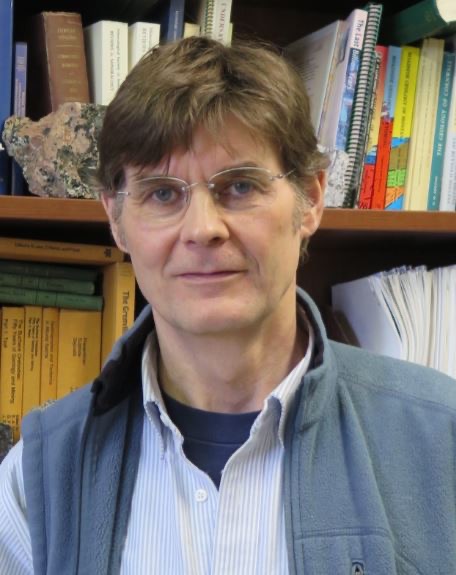
Woulter Bleeker, Geological Survey of Canada
Wouter Bleeker is a senior research scientist with the Geological Survey of Canada, based in Ottawa. A graduate from the Free University of Amsterdam (The Netherlands), and the University New Brunswick (Canada), he joined the GSC in 1994. His PhD research involved resolving the structural and stratigraphic complexity of the western rifted margin of the Superior craton, in particular the Thompson Nickel Belt (northern Manitoba), a mining camp still in active production. Since then, he has undertaken similar studies on giant VMS deposits (e.g., Kidd Creek), the setting of gold mineralization in Archean granite-greenstone terranes (e.g., Abitibi, Yellowknife), and more recently also on younger analogs such as the emerging gold belt of central Newfoundland. In the early 2000s, he synthesized the geology of the Slave craton.
Prior to joining the GSC, he worked in industry in both Europe and Canada. In the Bergslagen District of central Sweden, his research contributed to the discovery of the Lovisa stratiform Zn-Pb deposit. He has also lectured at the University of Botswana.
His research focus is on understanding and characterizing the broader geological setting of large mineral deposits and districts, their genesis, and their structural-metamorphic evolution over time. He has worked across Canada and his research has contributed to keeping northern mining towns alive. Having worked around the world, another research focus is to solve the plate tectonic puzzle of the ~35 dispersed Archean craton fragments, linking ancient crustal fragments and their metallogenic belts in their pre-breakup configuration.
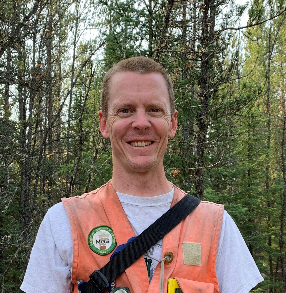
Chris Couëslan, Manitoba Geological Survey
Chris Couëslan is a project geologist in the Precambrian section of the Manitoba Geological Survey. He obtained his PhD from the University of Calgary in 2013 where his work focused on the tectonometamorphic evolution of the Thompson Nickel Belt.
He has worked with the MGS since 2008 and specializes in the geology and mapping of high-grade metamorphic terranes, metamorphosed hydrothermal alteration systems, and alkaline igneous complexes. Chris has extensive experience working in the Thompson Nickel Belt as well as the Kisseynew and Pikwitonei domains of Manitoba.

Kevin Ansdell, University of Saskatchewan
Kevin is a Professor in the Department of Geological Sciences at the University of Saskatchewan, with expertise in mineral deposits, and the Precambrian rocks of the Trans-Hudson orogen.
He grew up in England, obtaining a degree from Oxford University, before coming to Canada for an M.Sc. degree at the University of Alberta, and a PhD from the University of Saskatchewan on gold deposits in the western Flin Flon domain.
He has supervised graduate and undergraduate research projects on uranium, base and precious metals, and rare earth elements, supported by NSERC, and many local companies. He has served on the Council of the Geological Association of Canada, and more recently, he has served as President, and now Secretary, of the Canadian Geological Foundation, and was the Director for the Association of Professional Geoscientists and Engineers of Saskatchewan, on Geoscientists Canada, serving a term as President. At the University of Saskatchewan, he is a member of the Steering Committee for the “Energy and Mineral Resources for a Sustainable Future” signature area of research.
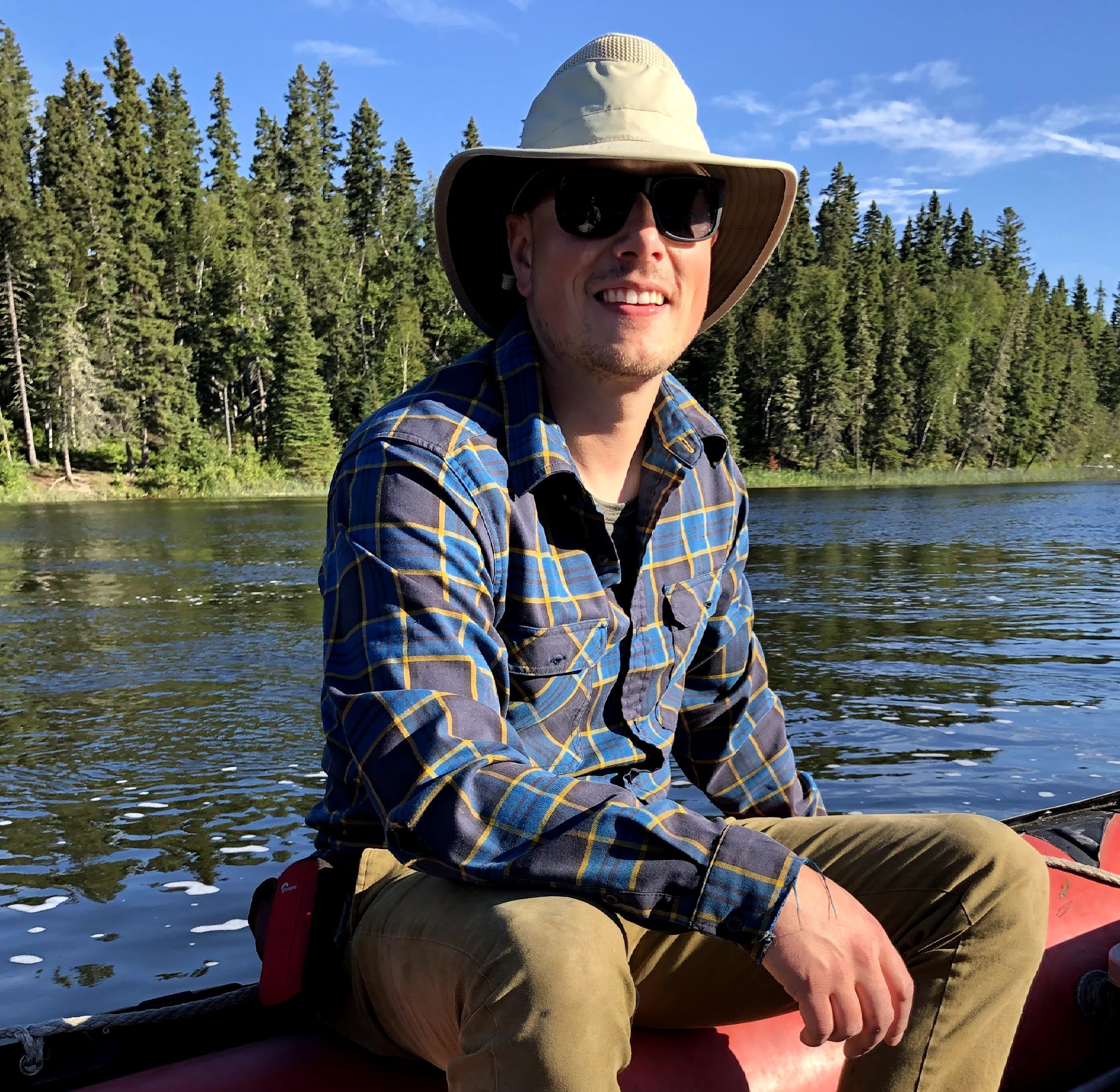
Kyle Reid, Manitoba Geological Survey
Kyle Reid has a B. Sc in geology from Brandon University and has a Ph. D. from the University of Saskatchewan, where he studied the controls on hydrothermal uranium minerals in the Athabasca Basin using mineral geochemistry, whole-rock geochemistry, and stable and radiogenic isotopes. He has experience working as an exploration geologist in Manitoba’s Flin Flon belt searching for VMS deposits. Kyle’s present position is as a Precambrian geologist at the Manitoba Geological Survey.
Chairs

Tafa Kennedy, Government of Manitoba
Dr. Tafa Kennedy is the Director of Manitoba Geological Survey, with over 20 years’ experience in the exploration and mining industry, in South Africa, Tanzania, Quebec and Ontario. Tafa obtained her B.Sc from Rhodes University, M.Sc from Pretoria University and Ph.D. from the University of Quebec in Chicoutimi.
She has worked as a Nickel and PGE deposit geologist in Raglan and Kabanga for Xstrata Nickel and as a consultant geologist in Quebec, roaming in and around the Abitibi greenstone belt dealing with gold and base metal deposits. After a time in the industry, her call to the public service began in 2017 with the Resident Geologist Program and the Mining Lands Division in Ontario.

Tânia Martins, Manitoba Geological Survey
Tânia Martins obtained her PhD in Geology in 2009 from the University of Porto (Portugal) studying Li-Sn-Nb-Ta mineralization in granitic pegmatites. In 2010 and 2011 Tânia worked at the University of Manitoba, Canada, on the mineralogy of alkaline rocks and carbonatites. Tânia joined the Manitoba Geological Survey in November 2011 and has since May 2023, been Chief Geologist for the Precambrian Geoscience section.